Instrumentos, Accesorios, Publicaciones y Especialidades Náuticas
Desde 1964 Navegando contigo
|
Horario de Tienda : Lunes a Viernes de 10:00 a 14:00h y de 16:30 a 19:30h |
|
|
Paga en 3 plazos sin intereses o cómodamente hasta en 12 meses |
Desde 1964 Navegando contigo
|
Horario de Tienda : Lunes a Viernes de 10:00 a 14:00h y de 16:30 a 19:30h |
|
|
Paga en 3 plazos sin intereses o cómodamente hasta en 12 meses |


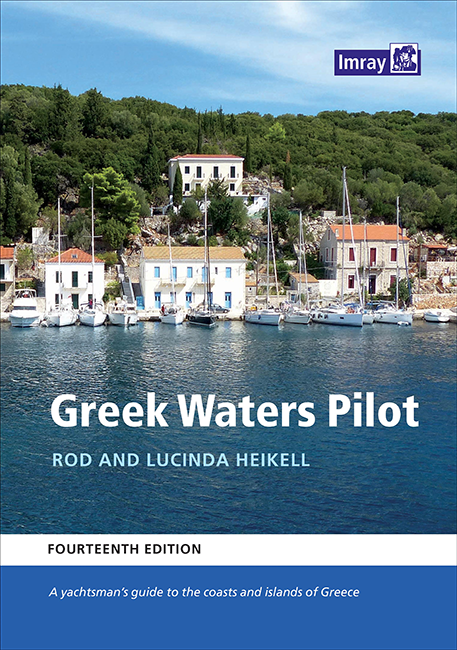
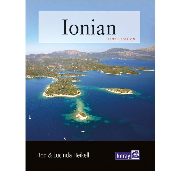
A yachtsman's guide to the Ionian and Aegean coasts and islands of Greece
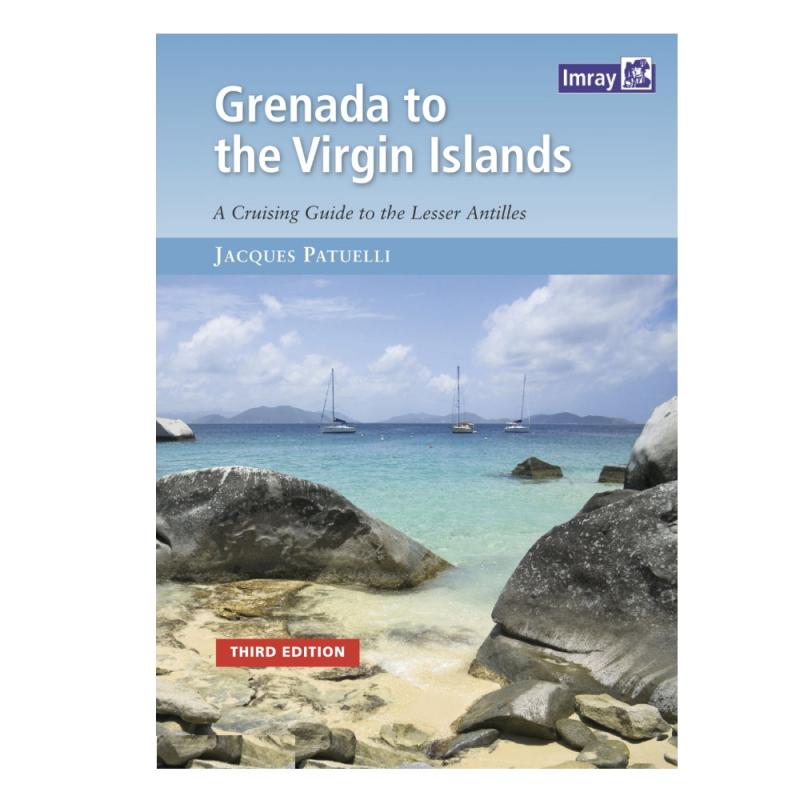
Marca: IMRAYThis popular book covering the Caribbean from Grenada and Barbados to the Virgin Islands is a translation from Jacques Patuelli's original French version...
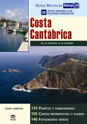
Marca: IMRAYNueva Edición en español.. De la Gironde a la Coruña. 135 puertos y fondeaderos. 105 cartas informativas y planos. 140 fotografías aéreas.
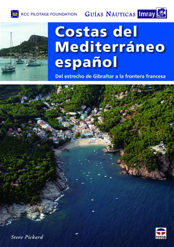
Marca: IMRAYNueva Edición en español. Del estrecho de Gibraltar a la frontera Francesa. Esta guía reúne por primera vez, y como ninguna otra, toda la información actualizada para navegar desde la entrada al Mediterráneo por el estrecho de Gibraltar y las 5 costas españolas (del Sol, Blanca, del Azahar, Dorada y Brava) hasta la frontera francesa.
Marca: IMRAYNueva edición ampliada y actualizada que presenta, como ninguna otra guía, toda la información precisa para la navegación por las cinco islas Baleares. Minuciosa y ampliamente ilustrada, recoge hasta 315 puertos y fondeaderos, con 185 cartas informativas y planos, y 260 fotografías.
Marca: IMRAY****DESCATALOGADO******
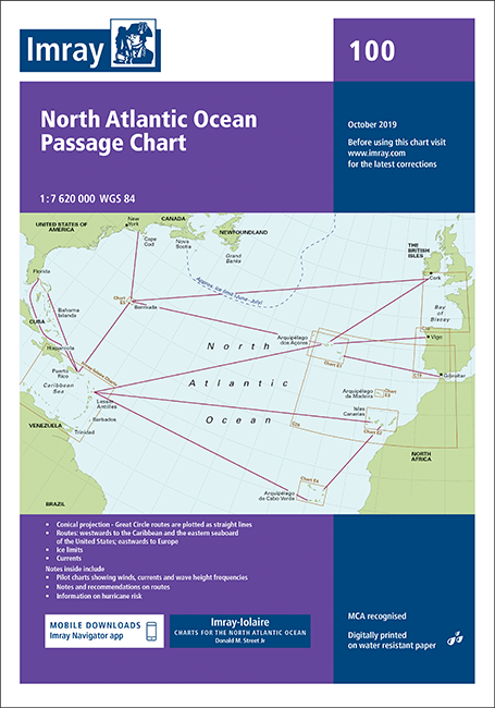
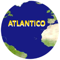
Marca: IMRAY Carta náutica 100. Atlantic Routeing Chart. Edición inglesa. Escala 1: 7.620.000
Marca: IMRAYEdición Inglesa 2007. 260 páginas . 21 x 30 cm. Encuadernación: Tapa dura
Marca: IMRAYEdición inglesa - 2005
Marca: IMRAYEdición inglesa 2010. 320 páginas. 21 x 29,7 cm. Encuadernación: Tapa dura
Marca: IMRAYEdición inglesa - 2016 Autores:Barry Sheffield. C & J Best & R Thomas
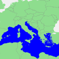
Marca: IMRAYGuía Imray del mar Iónico. Incluye Corfú. Idioma Inglés. Tapa blanda. 10ª Edición Revisada
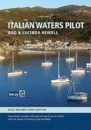
Marca: IMRAYIItalian Waters Pilot is the only guide for yachtsmen in English that covers the coasts of the Tyrrhenian Sea, Sardinia, Sicily, the Ionian 'heel' and Malta in one volume. This new tenth edition builds on first-hand research by the authors through the Tuscan islands, along the Tyrrhenian and Ionian coasts, to Sardinia and Sicily, Malta and Gozo.
Marca: IMRAYThe essential marine data resource for yachts sailing the Mediterranean, the Imray Mediterranean Almanac is published biennially with updates available in a downloadable supplement at the end of the first year.
Marca: IMRAYThe essential marine data resource for yachts sailing the Mediterranean, the Imray Mediterranean Almanac is published biennially with updates available in a downloadable supplement at the end of the first year.
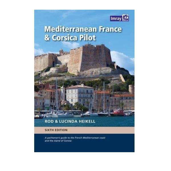
Marca: IMRAYA guide to the French Mediterranean coast and the island of Corsica. 6ª Edición Inglesa 2017. 394 páginas . 21 x 30 cm . Encuadernación: Tapa dura
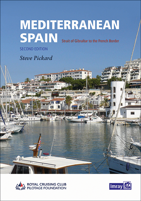
Marca: IMRAYThe second edition of this well-received title from the Royal Cruising Club Pilotage Foundation covers the entire Mediterranean mainland coast of Spain from Gibraltar to the French border.
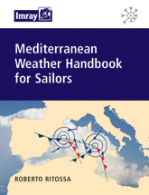
Marca: IMRAYA comprehensive guide to Mediterranean weather systems and forecasting. Starting with a description of the climatic and seasonal weather patterns, it has sections on pressure features, winds, sea areas and foecasting...
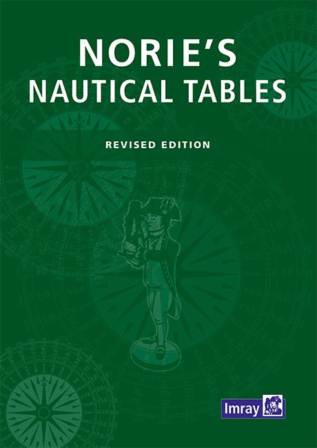
Marca: IMRAYThis famous set of mathematical tables was first published in 1803. It has been a bestseller ever since, and despite developments in electronic navigation it remains an essential requirement for anyone learning and practising astro-navigation.
Marca: IMRAYMorocco, Algeria, Libya and Tunisia including Gibraltar, Pantelleria and the Pelagie Islands and Malta
Marca: IMRAYEdición inglesa 2005. 260 páginas. 21 x 30 cm. Tapa dura
Marca: IMRAYOcean Passages and Landfalls is a handbook for world cruisers. It provides invaluable passage-planning information for crossing the oceans, with discussions on climates, seasons, oceanography and the merits of different world cruising routes...
Marca: IMRAYEdición Inglesa 2002. 295 páginas . 21 x 30 cm. Cartoné
Marca: IMRAYRecambio para Navigator's Log Book. 50 singladuras.
Marca: IMRAYEdición inglesa 2002. 152 páginas . Rústica
Marca: IMRAYEdición inglesa 2002. 169 páginas . 21 x 30 cm. Rústica
Marca: IMRAYThis seventh edition of the RCC's South Biscay pilot covers the coasts of France and Spain from the Gironde to La Coruna in Galicia.
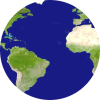
Marca: IMRAYEsta es una referencia completa para cualquiera que esté planeando una travesía por el Atlántico en su propio barco. . Edición inglesa 2017 Tapa dura. Jane Rusell.
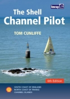
Marca: IMRAYSouth coast of England, the North coast of France and the Channel Isla
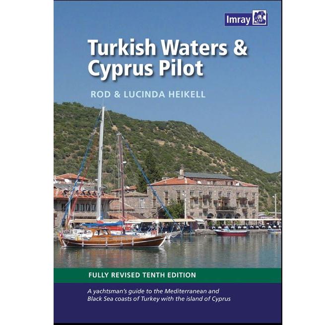
Marca: IMRAYTurkish Waters and Cyprus Pilot. Rod and Lucinda Heikell. This guide covers the coast of Turkey from the Bosphorus to the Syrian border and Cyprus. There is also a chapter on the Black Sea coast.
Marca: IMRAYEdición inglesa 2005. Tipo Mapa. Medida desplegado: 70 x 100 cm
Marca: IMRAYCentro de Instrumentos, Cartas, Publicaciones y Especialidades Náuticas para el sector Profesional y Deportivo. , no dudes en conocernos un poco mejor Leer más, Mapa de categorías, Marcas
Date de alta en nuestro boletín y aprovecha nuestras ofertas cada día. Para darte de baja pulsa este enlace.
Admitimos varias formas de pago para tu seguridad y comodidad. Leer más...


![]()