Instrumentos, Accesorios, Publicaciones y Especialidades Náuticas
Desde 1964 Navegando contigo
|
Horario de Tienda : Lunes a Viernes de 10:00 a 14:00h y de 16:30 a 19:30h |
|
|
Paga en 3 plazos sin intereses o cómodamente hasta en 12 meses |
Desde 1964 Navegando contigo
|
Horario de Tienda : Lunes a Viernes de 10:00 a 14:00h y de 16:30 a 19:30h |
|
|
Paga en 3 plazos sin intereses o cómodamente hasta en 12 meses |
Para simplificar su búsqueda, seleccione el apartado que más le interese.
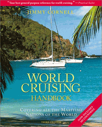
Covering all the Maritime Nations of the World. Edición Inglesa 2001. 568 páginas . Encuadernación: Tapa dura
Edición inglesa 2005. Tipo Mapa. Medida desplegado: 70 x 100 cm
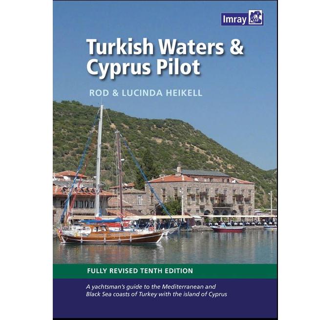
Marca: IMRAYTurkish Waters and Cyprus Pilot. Rod and Lucinda Heikell. This guide covers the coast of Turkey from the Bosphorus to the Syrian border and Cyprus. There is also a chapter on the Black Sea coast.
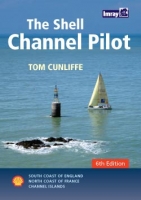
Marca: IMRAYSouth coast of England, the North coast of France and the Channel Isla
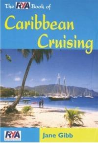
Marca: IMRAYUna guía práctica que responde a las preguntas más frecuentes que se plantean en el momento de realizar una travesía por el Caribe.
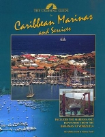
Contains depths, slip sizes, amenities, fees and telephone numbers, organized for easy reference.
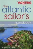
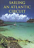
Based on the author's Sailing an Atlantic Circuit, this practical, how-to guide to the planning, preparation and execution of a passage is both a helpful and an inspirational book for all sailors considering an offshore or ocean passage.
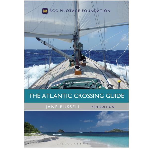
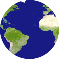
Esta es una referencia completa para cualquiera que esté planeando una travesía por el Atlántico en su propio barco. . Edición inglesa 2017 Tapa dura. Jane Rusell.
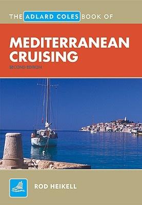
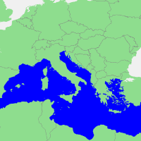
Marca: IMRAYUna herramienta imprescindible para cualquier persona que planifique un crucero por el Mediterráneo. Rod Heikell proporciona asesoramiento de primera mano sobre la vela en estas emocionantes aguas.
Edición inglesa 2001. 268 páginas . 21 x 28 cm. Rústica
Edición inglesa 2001. 244 páginas . 21 x 28 cm. Rústica
Edición inglesa 2001. 224 páginas . 21 x 28 cm. Rústica
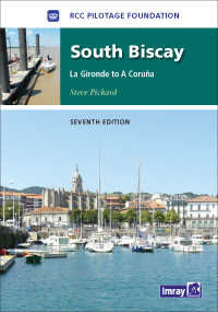
This seventh edition of the RCC's South Biscay pilot covers the coasts of France and Spain from the Gironde to La Coruna in Galicia.
Marca: IMRAYEdición inglesa 2002. 169 páginas . 21 x 30 cm. Rústica
Marca: IMRAYEdición inglesa 2002. 152 páginas . Rústica
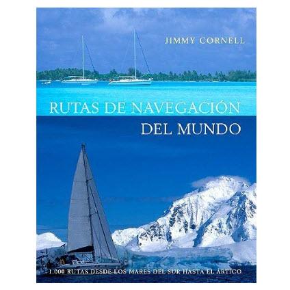
Marca: IMRAY1000 rutas desde los mares del Sur hasta el Ártico.. Considerada la biblia de los navegantes de altura, Rutas de navegacion del mundo, es una guía práctica para planificar más de mil rutas a través de todos los océanos del mundo...
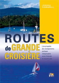
L'encyclopédie des renseignements pratiques indispensables avant d´aborder un nouveau pays.
Edición Inglesa 2002. 295 páginas . 21 x 30 cm. Cartoné
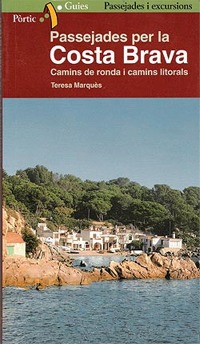
Marca: IMRAYAntics camins de pescadors o de vigilància de la costa han estat recuperats els darrers anys i són avui zones privilegiades per gaudir d'unes belles passejades arran de mar...
Ocean Passages and Landfalls is a handbook for world cruisers. It provides invaluable passage-planning information for crossing the oceans, with discussions on climates, seasons, oceanography and the merits of different world cruising routes...
Marca: IMRAYEdición francesa 2002. 204 páginas. 19 x 24 cm. Encuadernación: Tapa dura
Edición inglesa 2005. 260 páginas. 21 x 30 cm. Tapa dura
Marca: IMRAYMorocco, Algeria, Libya and Tunisia including Gibraltar, Pantelleria and the Pelagie Islands and Malta
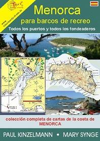
Marca: IMRAYRecoge todos los puertos y fondeaderos de la isla así como la colección completa de cartas de la costa de Menorca.
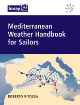
A comprehensive guide to Mediterranean weather systems and forecasting. Starting with a description of the climatic and seasonal weather patterns, it has sections on pressure features, winds, sea areas and foecasting...
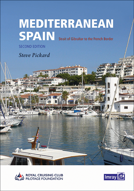
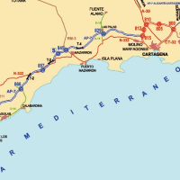
Marca: IMRAYThe second edition of this well-received title from the Royal Cruising Club Pilotage Foundation covers the entire Mediterranean mainland coast of Spain from Gibraltar to the French border.
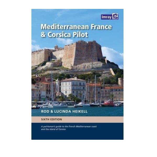
Marca: IMRAYA guide to the French Mediterranean coast and the island of Corsica. 6ª Edición Inglesa 2017. 394 páginas . 21 x 30 cm . Encuadernación: Tapa dura
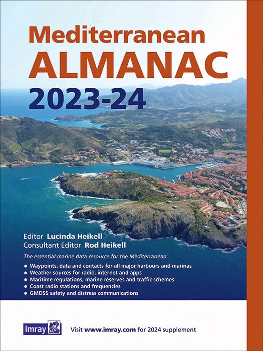
Marca: IMRAYThe essential marine data resource for yachts sailing the Mediterranean, the Imray Mediterranean Almanac is published biennially with updates available in a downloadable supplement at the end of the first year.
Marca: IMRAYThe essential marine data resource for yachts sailing the Mediterranean, the Imray Mediterranean Almanac is published biennially with updates available in a downloadable supplement at the end of the first year.
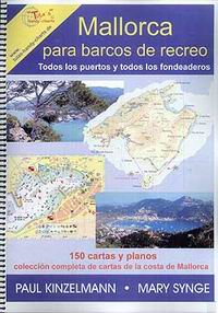
Marca: IMRAYRecoge todos los puertos y fondeaderos de la isla así como la colección completa de cartas de la costa de Mallorca.
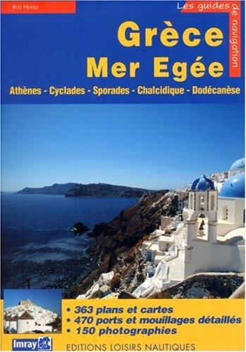
Un outil pour la navigation côtière dans une partie de la Grèce : Athènes, Cyclades, Sporades et Dodécanèse. Contient aussi des informations pratiques et touristiques utiles lors des escales.
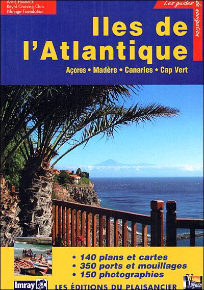
Marca: VAGNONEdición francesa 2005 . 331 páginas. 21,5 x 30 cm . Rústica
Marca: VAGNONCentro de Instrumentos, Cartas, Publicaciones y Especialidades Náuticas para el sector Profesional y Deportivo. , no dudes en conocernos un poco mejor Leer más, Mapa de categorías, Marcas
Date de alta en nuestro boletín y aprovecha nuestras ofertas cada día. Para darte de baja pulsa este enlace.
Admitimos varias formas de pago para tu seguridad y comodidad. Leer más...


![]()