Instrumentos, Accesorios, Publicaciones y Especialidades Náuticas
Desde 1964 Navegando contigo
|
Horario de Tienda : Lunes a Viernes de 10:00 a 14:00h y de 16:30 a 19:30h |
|
|
Paga en 3 plazos sin intereses o cómodamente hasta en 12 meses |
Desde 1964 Navegando contigo
|
Horario de Tienda : Lunes a Viernes de 10:00 a 14:00h y de 16:30 a 19:30h |
|
|
Paga en 3 plazos sin intereses o cómodamente hasta en 12 meses |
Para simplificar su búsqueda, seleccione el apartado que más le interese.


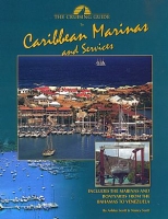
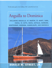
Contains depths, slip sizes, amenities, fees and telephone numbers, organized for easy reference.
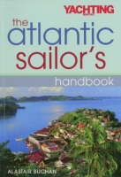
Based on the author's Sailing an Atlantic Circuit, this practical, how-to guide to the planning, preparation and execution of a passage is both a helpful and an inspirational book for all sailors considering an offshore or ocean passage.
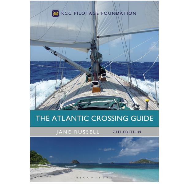
Esta es una referencia completa para cualquiera que esté planeando una travesía por el Atlántico en su propio barco. . Edición inglesa 2017 Tapa dura. Jane Rusell.
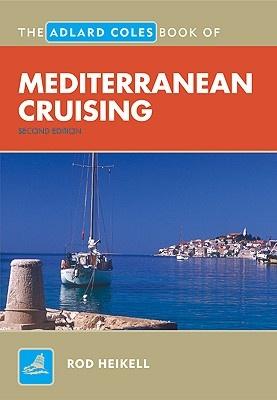
Marca: IMRAYUna herramienta imprescindible para cualquier persona que planifique un crucero por el Mediterráneo. Rod Heikell proporciona asesoramiento de primera mano sobre la vela en estas emocionantes aguas.
Edición Española adaptada al RD 874/2014 . 480 páginas . 23 x 20 cm . Rústica. séptima edición
Escrito pensando en «aprender sin grandes dificultades», muestra con más de 240 figuras didácticas cómo actúa el viento como motor eólico efectivo y cómo rentabilizarlo al máximo.
Edición Española 1998. Reimpresión febrero 2006. 26 x 19 cm. Rústica
Edición Española 2004. 26 x 19 cm. Rústica
Edición Española 2001. 160 páginas . 26 x 19 cm Rústica
Edición Española 1996. 26 x 19 cm. Rústica
La tecnología marina ha realizado grandes avances gracias a la aplicación de las modernas tecnologías...
Edición Francesa 1997. 280 páginas . Rústica
Bernard Montessier nos cuenta su mágica juventud transcurrida en Indochina. En su pueblo del golfo de Siam, que dejó en el una huella indeleble, oye por primera vez la llamada del mar ...
Edición Española 2000. 162 páginas . 24 x 17 cm. Rústica
Esta Segunda Edición incorpora nuevas tablas de «Distancias, velocidades y tiempos», «Conversión de tiempo en arco y viceversa» y en especial la Tabla 60 «Cálculo de la altura estimada de un astro y de la distancia ortodrómica»...
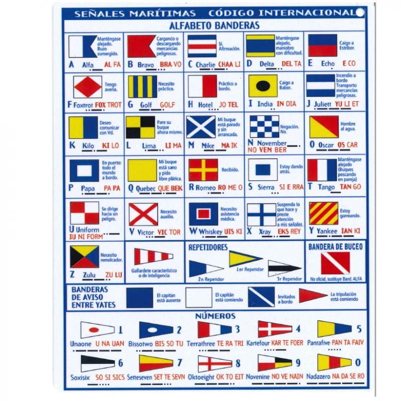
Tabla de señales plastificada para neumáticas doble cara.
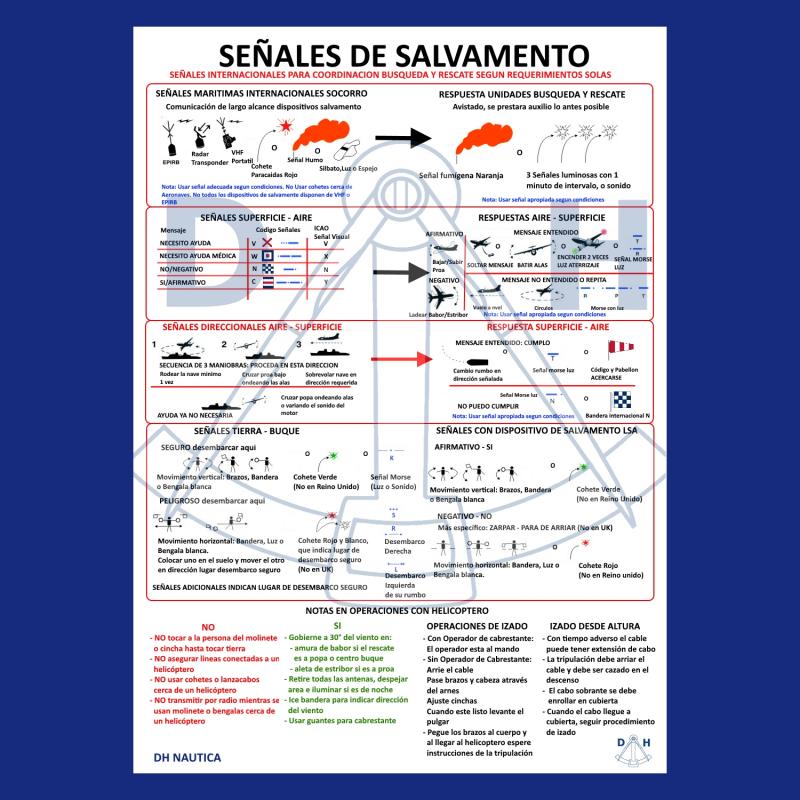
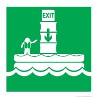
Tabla de señales de salvamento obligatoria. Medidas 30 x 20 cm. Idioma castellano. Tabla Plastificada
Marca: DHManual básico de submarinismo que hace un recorrido práctico por el mundo de la inmersión abordando de forma visual los aspectos básicos para iniciarse en este apasionante deporte.
Edición inglesa 2001. 268 páginas . 21 x 28 cm. Rústica
Edición inglesa 2001. 244 páginas . 21 x 28 cm. Rústica
Edición inglesa 2001. 224 páginas . 21 x 28 cm. Rústica
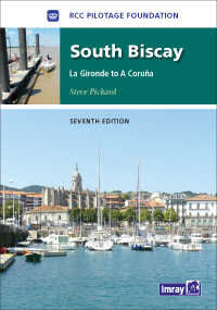
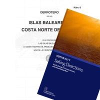
This seventh edition of the RCC's South Biscay pilot covers the coasts of France and Spain from the Gironde to La Coruna in Galicia.
Marca: IMRAYEdición inglesa 2002. 169 páginas . 21 x 30 cm. Rústica
Marca: IMRAYEdición Española 2000. 79 páginas. 14 x 21 cm . Rústica
Edición española. 160 páginas . 13 x 22,7 cm . Rústica
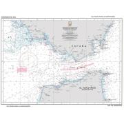
Símbolos, abreviaturas y términos usados en las cartas náuticas españolas. Publicación especial num. 14 INT 1. Edición español / inglés Páginas: 98
Edición Comercial. These tables were designed for air navigation where weight and space are at a premium, however, they are very popular with sailors too due to the fact that Vol. 1 offers a speedier way to compute stars. The way the 6 volumes of 229 were
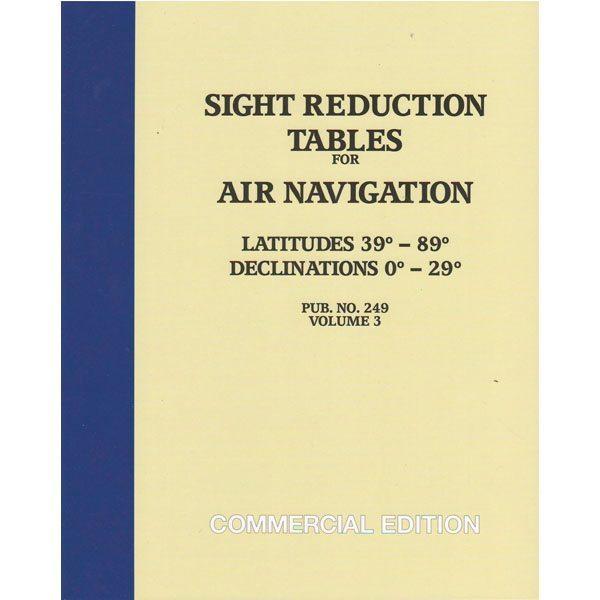
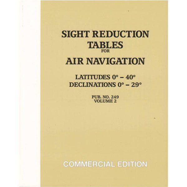
Edición Comercial. These tables were designed for air navigation where weight and space are at a premium, however, they are very popular with sailors too due to the fact that Vol. 1 offers a speedier way to compute stars.
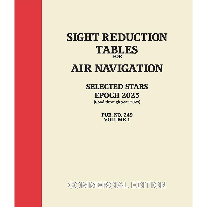
Edición Comercial Americana, Epoca 2025 (Valida hasta el año 2029). These tables were designed for air navigation where weight and space are at a premium, however, they are very popular with sailors too due to the fact that Vol. 1 offers a speedier way to compute stars.
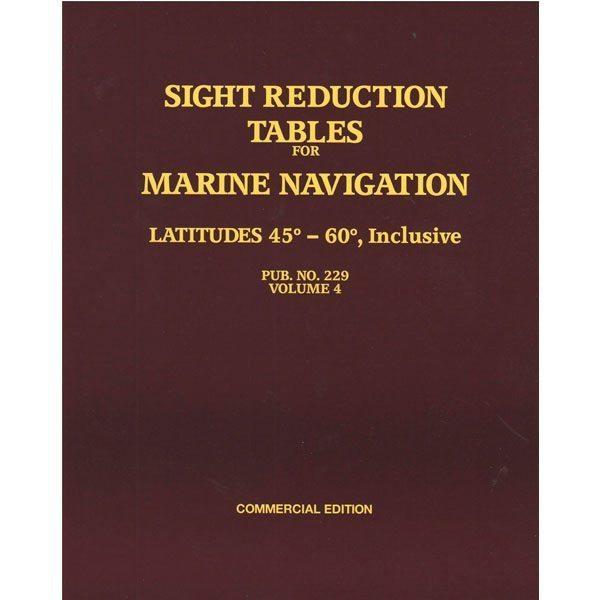
Commercial Edition - This is the standard set of tables designed for marine navigation. Although there are 6 volumes in a set, only those pertaining to the latitudes anticipated need be obtained.
Commercial Edition - This is the standard set of tables designed for marine navigation. Although there are 6 volumes in a set, only those pertaining to the latitudes anticipated need be obtained.
Commercial Edition - This is the standard set of tables designed for marine navigation. Although there are 6 volumes in a set, only those pertaining to the latitudes anticipated need be obtained.
Centro de Instrumentos, Cartas, Publicaciones y Especialidades Náuticas para el sector Profesional y Deportivo. , no dudes en conocernos un poco mejor Leer más, Mapa de categorías, Marcas
Date de alta en nuestro boletín y aprovecha nuestras ofertas cada día. Para darte de baja pulsa este enlace.
Admitimos varias formas de pago para tu seguridad y comodidad. Leer más...


![]()